 Queenstown City Guide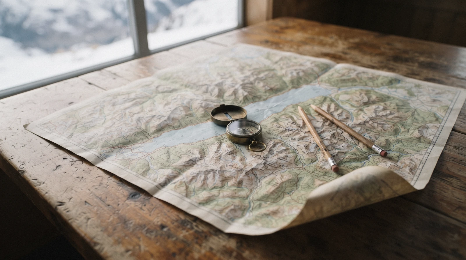
Queenstown Map: Every Place in This Guide, Pinned and Listed
This Queenstown map puts every place the guide covers on one screen: the ticketed attractions with the operator's own adult price, the free walks and beaches, the restaurants we can name because a published guide lists them, the five suburbs and the day trips that need a whole day. Filter by category, tap a pin for the price and the page that explains it, or open any point in Google Maps and walk there. Below the map the same pins appear as a text list, grouped the same way, because a list is readable in a way pins are not. The wider planning picture is on the Queenstown guide homepage and the tickets are compared on the tours hub.
Quick answer Where the town is, how the basin is laid out, and what is on the map
Queenstown sits at the top of a bay on Lake Whakatipu in the Otago region of New Zealand's South Island, with its airport 8 km east at Frankton and the Remarkables range across the water to the south-east. The town centre itself is compact enough to cross on foot in about fifteen minutes; almost everything else on this map needs a bus, a ferry or a drive, and four of the pins are more than three hours away.
Key takeaways
- The lake is the reason the geography is confusing: the Queenstown Lakes District Council's own boating guide puts Lake Whakatipu at 80 km long and over 300 m deep for more than half its length, and it bends twice, so two places that look close often are not.
- The pins split five ways — ticketed sights, free walks, named restaurants, suburbs and day trips — and the free green ones outnumber the paid teal ones once you leave the town centre. The free list explains them.
- Everything inside the basin is a $1.46 (NZ$2.50) bus ride on a Bee Card, including Arrowtown on route 2 — getting around has the routes and the ferry.
- The single most useful distance to know is the one to Fiordland: the Department of Conservation puts Milford Sound at 600 km and 12 to 14 hours return, which is why it is a day trip and not an afternoon.
The Map
Numbered pins, filterable by category. The list below the map is the same set in text, grouped the same way — every place links to its own page on this site and to Google Maps for directions.
Sights & activities 13 pins
- Skyline Queenstown gondola$40.30 (NZ$69) returnClimbs 480 m to Bob's Peak from Brecon Street. The free Tiki Trail starts at the same car park and the Department of Conservation times it at 1 hour one way.
- Ziptrek Ecotours treehouse$69.50 (NZ$119) and upCheck AvailabilityZiptrek publishes no street address and no coordinates, so this pin sits on the Skyline complex where its treehouse stands, a 10-minute uphill walk from the top terminal.
- Shotover Jet, Arthurs Point$116.20 (NZ$199)Check Availability3 Arthurs Point Road, about 7 km out, departures 09:30 to 16:00 seven days a year-round.
- Onsen Hot Pools$71.20 (NZ$122) per pool160 Arthurs Point Road, open 09:00 to 23:00, booked per pool rather than per person.
- TSS Earnslaw, Steamer Wharf$67.20 (NZ$115)Check Availability88 Beach Street. The crossing to Walter Peak is 45 minutes on the 1912 steamer and 35 on the catamaran.
- Kawarau Bridge Bungy$186.90 (NZ$320), free to watchCheck Availability23 km out on State Highway 6, 25 to 35 minutes. The deck, the café and the car park cost nothing.
- Nevis Bungy$230.70 (NZ$395)Check AvailabilityReachable only on the operator's own 4WD bus from the corner of Shotover and Camp Streets. Allow four hours.
- NZONE Skydive check-in, 35 Shotover Street$209.70 (NZ$359)Check AvailabilityThe drop zone is a private airstrip about 20 minutes away and its coordinates are not published, so the pin is the town check-in.
- Tandem paragliding meeting point, Camp StreetNo fare publishedCheck AvailabilityTake-off is from Bob's Peak or Coronet Peak depending on the operator and the season; the meeting point is in town.
- Queenstown Ice Arena$15.18 (NZ$26)29 Park Street, inside the Gardens. Skate hire, helmet and all-day access are inside the entry price.
- Coronet Peak$105.10 (NZ$180) day pass16 km of sealed road, 20 minutes. Open in summer too, for sightseeing and chairlift-served mountain biking.
- The Remarkables ski area$105.10 (NZ$180) day pass24 km and 45 minutes, of which 4 km is unsealed. In summer the walk here is the Lake Alta Track, 2.4 km return.
- Gibbston Valley cellar doors$11.68 (NZ$20) and upCheck AvailabilitySix cellar doors publish a fee and an address; Chard Farm at NZ$20 is the cheapest and Brennan's hosted flight at NZ$65 the dearest.
Free 11 pins
- Te Kararo Queenstown GardensFreeA 2 km lakefront loop the Department of Conservation times at 40 minutes, with an 18-basket disc golf course on it.
- Queenstown Hill Time WalkFree5.4 km and some 500 m of climb from Belfast Terrace, 2 to 3 hours return. The Basket of Dreams sits before the summit climb, not at the top.
- Ben Lomond TrackFree1,438 m of gain to a 1,748 m summit, 6 to 8 hours return. Snow and ice above the bushline from April to November.
- Frankton Arm Walkway, Park Street endFreeThe Department of Conservation times it at 1 hour to 1 hour 30 minutes ONE WAY and calls it suitable for most wheelchairs bar a rise at Battery Hill.
- Sunshine Bay TrackFree4 km return in 40 minutes to an hour, starting 1 km past the Fernhill roundabout.
- Bob's Cove TrackFreeThe car park is the one distance the Department of Conservation does publish on the Glenorchy road: 14 km from Queenstown. Picnic Point is 30 minutes one way.
- Moke Lake Loop TrackFree to walkA 6 km loop in 2 to 3 hours. The campsite is NZ$18 an adult and booking is compulsory; about 7 km of the access road is gravel.
- Lake Hayes WalkwayFreeAn 8 km loop in 2 to 3 hours from the Lake Hayes Pavilion, between town and Arrowtown.
- Gibbston River TrailFree8.7 km one way from the Kawarau bungy centre car park to Gibbston Back Road, graded easy on gravel.
- Routeburn ShelterDay walking free25 km from Glenorchy on a partly unsealed road. Day walks cost nothing; a hut bed in season is NZ$132 for an international visitor against NZ$88 for a resident.
- Roys Peak, WānakaFreeOver 1,200 m of gain to a 1,578 m summit, closed 1 October to 10 November for lambing. The Department of Conservation publishes no distance and no walking time for it at all.
Where to eat 11 pins
- EssenceCuisine Good Food Guide 2026: three hats2 Brunswick Street. The highest-scoring kitchen in the district on the guide's own listing, at 19.5.
- Toast & OakCuisine Good Food Guide 2026: two hats15 Shotover Street, in the middle of the town centre.
- Botswana ButcheryMains $25.10 to $37.90 (NZ$42.95 to NZ$64.95)Archers Cottage, 17 Marine Parade, open 11:00 to 23:00 seven days, on the lakefront.
- SherwoodMains $14.60 to $17.52 (NZ$25 to NZ$30)554 to 558 Frankton Road. Two hats, and over 40% of its green produce comes from its own kitchen garden.
- Aosta, ArrowtownCuisine Good Food Guide 2026: two hats18 Buckingham Street, on Arrowtown's main street.
- Odd SaintHospitality NZ Best Café 20261 Earl Street, on the corner of Camp Street.
- Little BlackwoodHospitality NZ Best Bar 2026Steamer Wharf. No street number is published, so the pin is the wharf itself.
- Altitude BrewingChampion NZ Medium Brewery 2025827 Frankton Arm Walk, and a first-come first-served taproom in its own words.
- AmisfieldTasting menu $286.20 (NZ$490)10 Lake Hayes Road. The evening tasting menu runs Wednesday to Sunday.
- Mora Wines & Artisan KitchenOpen 9 am to 5 pm, seven days265 Arrowtown-Lake Hayes Road, and it publishes the one line that matters here: there is a bus stop right outside the gates.
- FergburgerOn its own website only42 Shotover Street. It appears on no published guide list, which is why the card says so rather than ranking it.
Suburbs 5 pins
- Queenstown town centreThe walkable baseAbout fifteen minutes across on foot, and the only area where a car is a liability rather than an asset.
- Frankton8 km east, by the airportThe working side of the basin: the airport, the hospital, the supermarkets and the marina.
- Fernhill and Sunshine BayUphill, west of the centreA steep hillside a bus route away from town, and the start of two of the free lakeside walks above.
- Kelvin HeightsAcross the waterThe peninsula opposite town, reached by road the long way round or by the hourly Frankton ferry.
- Arthurs Point7 km northA small settlement on the Shotover that carries the jet boat base, the hot pools and a brewery.
Day trips 8 pins
- ArrowtownMuseum $8.18 (NZ$14)On Orbus route 2 from Frankton Hub, so this is a NZ$2.50 ride. The Chinese Settlement publishes no admission fee.
- GlenorchyFree to driveAt the head of the lake on a road that opened only in 1962. Neither DOC nor the council publishes a distance or a drive time for it.
- Skippers CanyonBridge closedSkippers Bridge has been closed to vehicles, cyclists and pedestrians since a cable inspection, with no reopening date published.
- WānakaFreeOver the Crown Range or round through Cromwell. No authority publishes a distance or a drive time for either route.
- Cardrona Alpine Resort$107.50 (NZ$184) day passThe operator's own figure is about one hour and 54 km from Queenstown Airport, over the Crown Range.
- Milford Sound / PiopiotahiNo entry fee; parking NZ$10 an hourCheck Availability600 km and 12 to 14 hours return by road on DOC's own figures, which is why it fills the whole day.
- Doubtful Sound / Patea$209.70 (NZ$359)Check AvailabilityThe cruise starts at Manapouri, 2.5 to 3 hours' drive away, and needs a lake crossing and a coach over the Wilmot Pass first.
- Aoraki / Mount CookFree to enter; car park NZ$25 a dayCheck Availability3.5 hours' drive each way on DOC's figure. The Hooker Valley Track is 10 km return in about 3 hours.
Pin positions come from each page's own published coordinates, and where an operator publishes none the pin sits on its stated meeting point and the note says so. Prices are the operator's or authority's own adult figure, in US dollars at NZ$1 = $0.584 with New Zealand dollars in brackets. All of it was read in Q3 2026; the freshness of each figure is recorded on the page the pin links to.
Distances and Drive Times, and Who Actually Publishes Them
Only figures an authority or the operator itself publishes appear here; where nobody publishes one, the row says so instead of repeating a number from a blog. Sources are the Department of Conservation, Queenstown Airport, NZSki, Cardrona, RealNZ and AJ Hackett.
| Place | Distance published | Time published | Published by | Where it lies |
|---|---|---|---|---|
| Queenstown Airport | 8 km | Not stated | Queenstown Airport | East, at Frankton |
| Shotover Jet base, Arthurs Point | About 7 km | About 1 hour door to door | Shotover Jet | North, on the Shotover |
| Bob's Cove | 14 km | 30 min walk to Picnic Point | Department of Conservation | West, on the Glenorchy road |
| Coronet Peak | 16 km, sealed | 20 minutes | NZSki | North |
| Kawarau Bungy Centre | 23 km | 25 to 35 minutes | AJ Hackett | East, in Gibbston |
| The Remarkables ski area | 24 km, 4 km unsealed | 45 minutes | NZSki | South-east |
| Cardrona Alpine Resort | 54 km from the airport | About 1 hour | Cardrona | Over the Crown Range |
| Routeburn Shelter | 25 km from Glenorchy | Not stated | Department of Conservation | Head of the lake |
| Manapouri, for Doubtful Sound | Not stated | 2.5 to 3 hours | RealNZ | Fiordland |
| Aoraki / Mount Cook | Not stated | 3.5 hours | Department of Conservation | Mackenzie Basin |
| Milford Sound / Piopiotahi | 600 km return | 12 to 14 hours return | Department of Conservation | Fiordland |
| Glenorchy | Not published | Not published | Nobody — DOC and the council both publish neither | Head of the lake |
| Arrowtown | Not published | Not published | Nobody — not the museum, the council or DOC | Arrow Basin |
| Wānaka | Not published | Not published | Nobody — not NZTA, the council or DOC | Over the Crown Range |
Three of the most-driven roads out of Queenstown have no official distance at all, which is worth knowing before you trust a figure you find elsewhere. The only official fragments available for a Wānaka comparison are DOC's 40 km from Wānaka to the Crown Range summit and Cardrona's 54 km from Queenstown Airport.
Where Queenstown Actually Is
The single fact that explains the layout: this is a town built on a bay of a very large, very deep, very cold lake, hemmed in by mountains on three sides.
Queenstown sits in the Otago region of New Zealand's South Island, at the northern end of a bay on Lake Whakatipu, which the Department of Conservation also writes as Lake Wakatipu and gives the name Whakatipu Waimāori. The Queenstown Lakes District Council's boating guide puts the lake at 80 km long, 293 square kilometres in area and over 300 m deep for more than half its length, with water at 8 to 10 °C all year. That last figure is the one visitors misjudge: the lake photographs like a swimming lake on a 25 °C January afternoon and it is cold-shock water, which is why lifejackets are compulsory on every recreational vessel of 6 m and under, kayaks included.
Why the lake bends, and why the map reads oddly
The lake runs in a long flattened S, and the town sits on the inside of the first bend. That is why places that look adjacent on a map are an hour apart by road: Kelvin Heights is directly across the water from the town centre and a long way round by car, which is the whole reason the Frankton ferry exists. Te Ara records the Māori account of the shape, in which the lake is the grave of the giant Matau, burned in his sleep so that his body drew up at the knees and burned the curving chasm the water filled.
The same account explains the rise and fall of the lake as his heartbeat, and there is a measurement behind it: Te Ara puts the seiche, the standing wave that moves the water up and down, at a period of 52 minutes and a range of 12 to 20 cm. The five-minute heartbeat repeated in brochures is not a measured figure.
The other Queenstowns
Searches for this map regularly land on the wrong town. There are Queenstowns in South Africa, in Tasmania and in Singapore, and the related searches around this keyword include a Queenstown in Ireland and a Queenstown outlet mall in the United States. Everything on this page is the New Zealand one: latitude about 45 degrees south, in the Otago region, 8 km west of Queenstown Airport, whose code is ZQN.
If your map shows a coastline, it is not this Queenstown.
Reading the Basin in Five Parts
Every address in a Queenstown listing sits in one of five places, and knowing which one turns a hotel booking from a guess into a decision.
The map's grey pins are the five parts. Working out from the middle: the town centre on its bay; Fernhill and Sunshine Bay climbing the hillside west of it; Frankton 8 km east where the airport, the hospital and the supermarkets are; Kelvin Heights on the peninsula across the water; and Arthurs Point 7 km north on the Shotover, which carries the jet boat base and the hot pools. Arrowtown, 20 minutes further east, is a separate town rather than a suburb, and it is on the same bus network.
- The town centre is the only part where walking beats driving. Parking is scarce and the streets are short. The town centre page has the detail.
- Frankton is where the practical town is, and where the Frankton Arm Walkway starts. The Frankton page covers staying there.
- Kelvin Heights is the ferry decision: hourly sailings between Queenstown Bay and Frankton Marina at NZ$10 on a Bee Card make it commutable, driving round does not.
- Fernhill and Sunshine Bay are steep, quiet and on a bus route, with two free lakeside walks at the bottom of the hill.
- Arthurs Point is a fifteen-minute drive that feels further because the road climbs out of the basin.
Is Queenstown Walkable?
Yes for the centre, and misleadingly so beyond it, because the lakefront path keeps going long after the town stops.
The town centre is about fifteen minutes across on foot and every teal pin inside it is a walk: the wharf, the gondola base, the skydive check-in, the restaurants and the Gardens. The Gardens loop itself is 2 km and the Department of Conservation times it at 40 minutes on the flat. Beyond that the walkability is a trap in one specific way.
The Frankton Arm Walkway leaves the town centre at Park Street and looks like a stroll, but the Department of Conservation's published time of 1 hour to 1 hour 30 minutes is one way, to Frankton Beach, and the two authorities do not even agree on the length: DOC says 7 km and the Queenstown Trails Trust says 8.5 km, because they measure between different endpoints. Walk it out and take the bus or the ferry back.
The climbs that start in town
Three of the green pins begin within walking distance of the lakefront and end well above it. The Tiki Trail leaves the gondola car park on Brecon Street and takes 1 hour one way over 2 km, and DOC's own word for it is steep. Queenstown Hill starts at Belfast Terrace and runs 5.4 km with some 500 m of climb, 2 to 3 hours return.
Ben Lomond starts at the same Tiki Trail and gains 1,438 m to a 1,748 m summit, 6 to 8 hours return, with snow and ice above the bushline from April to November. Being able to walk to a trailhead is not the same as being able to walk the track.
The Maps This One Does Not Replace
Four official maps carry information this page deliberately does not, and each of them is the authority on something.
This map is an index of a guide, not a navigation tool. For anything where being wrong has a consequence, use the source.
- The Department of Conservation's Queenstown day walks and bike trails brochure, published March 2025, carries a numbered entry, a time and a distance for every track pinned here, plus its own caveat that all times are approximate and, unless stated, one way.
- DOC's live track alerts and the New Zealand Avalanche Advisory change daily and are the only current word on whether a track is open. Nothing on a guide page can be current in that sense.
- The district council's winter road reports decide whether the Crown Range and the ski field roads are open, gritted or chained. The Crown Range is a Priority 1 winter road, maintained open and gritted when needed between 7 am and 10 pm.
- Skyline's own park map is the only map of the top complex, where the gondola terminal, the luge tracks, the buffet and the Ziptrek treehouse all sit within a few hundred metres of one another.
Where our pins are approximate, and why
Four pins on this map are honest approximations and the note on each says so. Ziptrek publishes no address or coordinates for its treehouse, so it sits on the Skyline complex. NZONE publishes no coordinates for its drop zone, a private airstrip on a working sheep farm about twenty minutes from town, so the pin is the check-in at 35 Shotover Street.
The paragliding pin is the town meeting point rather than a launch site, because the launch depends on the operator and the season. And Little Blackwood publishes no street number, so it is pinned to Steamer Wharf. Every other pin is a published coordinate or a published street address.
The Pins That Need a Booking
Five of the pins above sell a timed product rather than an open gate, and these are the listings behind them. Prices and ratings are the platform's own.
 from $116.48
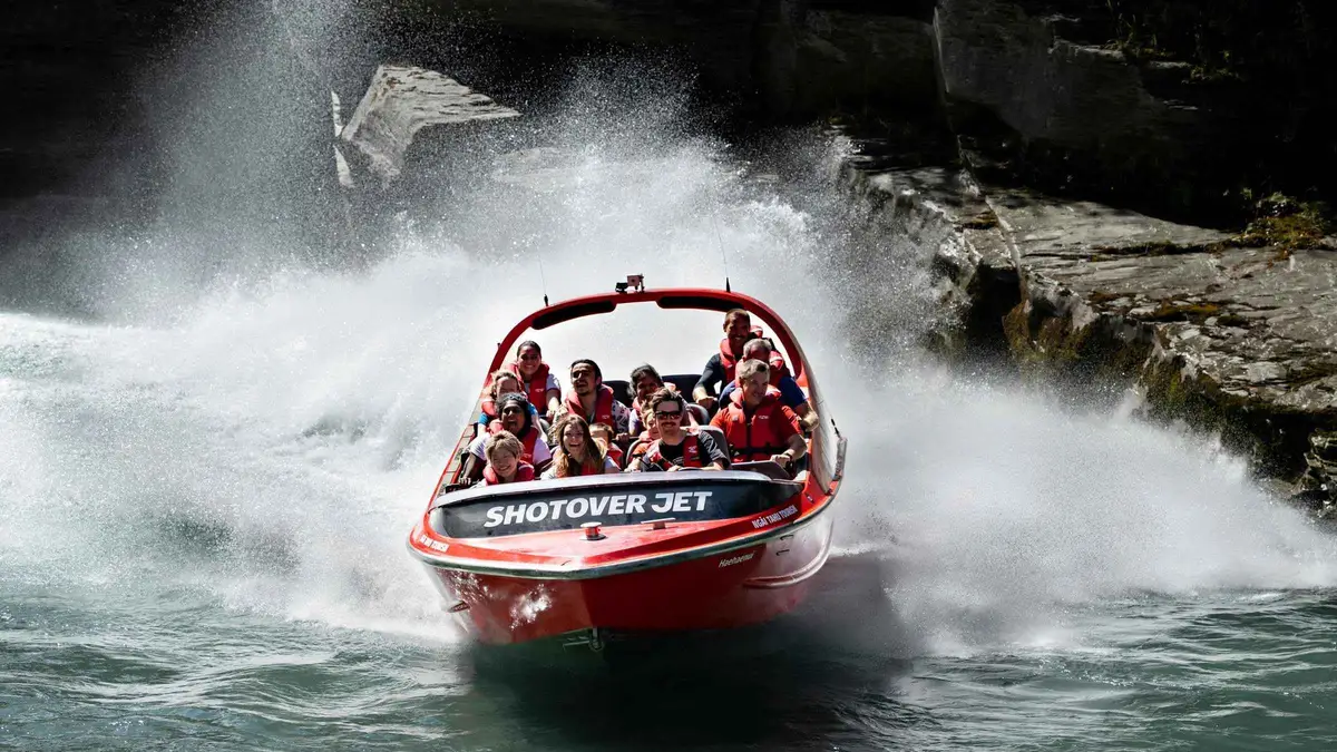
Queenstown: Shotover River Extreme Jet Boat Experience
Twenty-five minutes inside the Shotover Canyons, which no other jet boat operator is permitted to enter: 90kmh between rock walls, with the 360-degree spins the ride is known for. Handrails are heated in winter.
Check Availability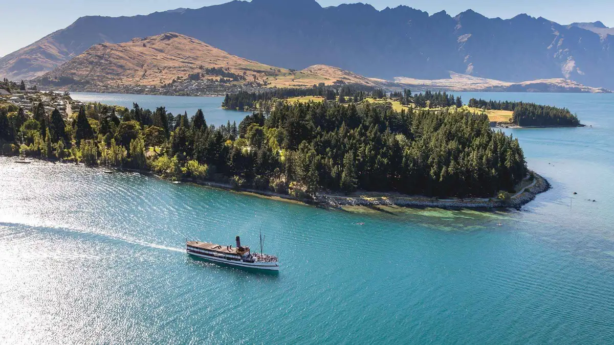 from $69.65
Queenstown: TSS Earnslaw Cruise of Lake Whakatipu
The steamer and nothing else: 90 minutes on the lake, the engine room open to walk through, the stokers feeding the coal fire in front of you. The shortest and cheapest way onto the 1912 vessel.
Check Availability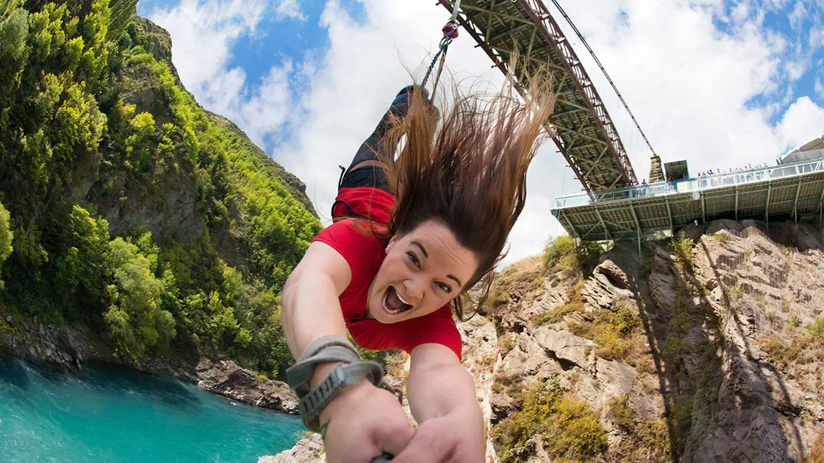 from $187.31
Most booked
from $187.31
Most booked Queenstown: Kawarau Bridge Bungy - World's First Bungy!
The 43-metre jump from the bridge where commercial bungy began, solo or tandem, with a water-touch option if you want to be dunked in the Kawarau. Photos, video and the shuttle from town are in the price.
Check Availability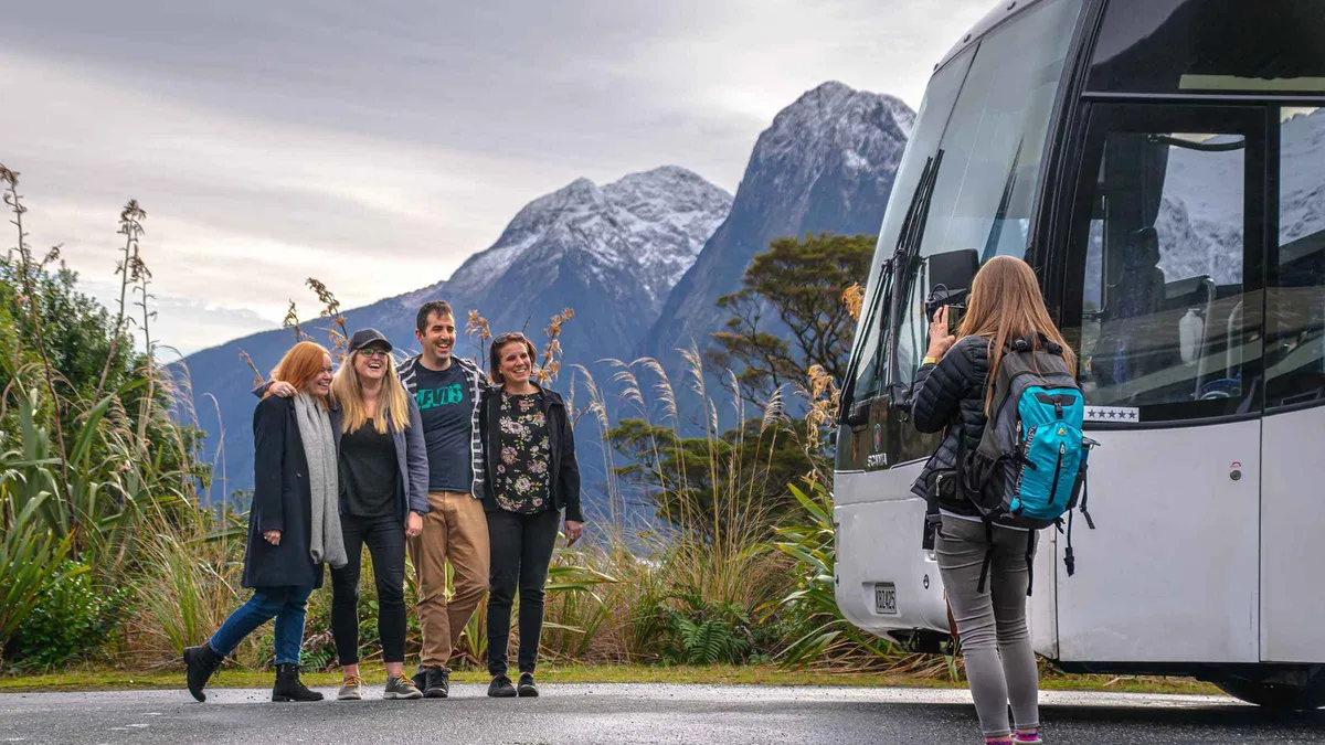 from $137.55
Most booked
from $137.55
Most booked Queenstown: Milford Sound Coach & Cruise Full-Day Trip
The volume option, and the one most visitors actually book: hotel pickup, the coach down, a cruise with three viewing decks, back the same night. Twelve hours, and the least you can pay to reach the fiord.
Check Availability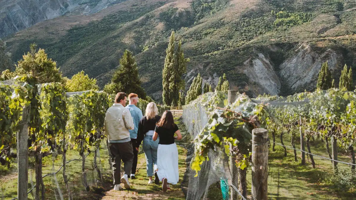 from $163.31
Queenstown: Small Group Wine Tasting Tour with 18+ tastings
Four cellar doors and 18 or more pours, including the underground wine cave at Gibbston Valley, in a small-group van. Six hours, and the deepest tasting count of the five wine options on this page.
Check AvailabilityPrices, ratings and details are the platform's own, checked in Q3 2026; dollar figures are the listed prices — the platform bills in your account's currency.
Where to Go Next
Three pages that turn the geography on this map into a plan.
Getting around Queenstown
Five bus routes, one ferry and a NZ$5 card that halves every fare. Getting around is what connects the grey pins on this map to the teal ones.
The transport pageQueenstown suburbs
How the basin fits together, area by area, with what each one is actually like to stay in. The suburbs page carries the detail behind each grey pin.
The five grey pinsFree things to do in Queenstown
Eleven of the pins on this map cost nothing at all. The free list groups them by how far they are from the town centre and says what each replaces.
The green pinsThe Queenstown Map: Questions
Where is Queenstown located in New Zealand?
In the Otago region of the South Island, at the northern end of a bay on Lake Whakatipu, at about 45 degrees south. Its airport, ZQN, is 8 km east at Frankton, and the Remarkables range rises across the water to the south-east. It is inland: if the map you are looking at shows a coastline next to the town, it is one of the other Queenstowns, in South Africa, Tasmania or Singapore.
Is Queenstown a walkable town?
The centre is, at about fifteen minutes across, and the gondola base, Steamer Wharf, the Gardens and every restaurant pinned in the town centre above are all inside that. Beyond it the walking gets long fast: the Frankton Arm Walkway to Frankton Beach is 1 hour to 1 hour 30 minutes ONE WAY on the Department of Conservation's figure, and the three climbs that start in town run from one hour to eight. The walkability section sets out which is which.
How far apart are the places on this Queenstown map?
Everything with a grey or teal pin except the ski fields is inside a fifteen-minute drive or a NZ$2.50 bus ride. The purple day-trip pins are a different order of magnitude: Cardrona is about an hour, Aoraki / Mount Cook is 3.5 hours each way on DOC's figure, and Milford Sound is 600 km and 12 to 14 hours return. The distance table lists every figure an authority actually publishes, and says who publishes nothing.
Why do some pins on this map say the coordinates are approximate?
Because four operators publish none. Ziptrek gives no street address or coordinates for its treehouse, so its pin sits on the Skyline complex where the treehouse stands. NZONE does not publish the location of its drop zone, so the pin is the town check-in at 35 Shotover Street. The paragliding pin is a meeting point, not a launch site. And Little Blackwood publishes no street number, so it is pinned to Steamer Wharf. Everything else is a coordinate or a street address its own source publishes.
Is there an official Queenstown map I should use instead?
For anything with a consequence, yes. The Department of Conservation's Queenstown day walks and bike trails brochure of March 2025 is the authority on track times and distances; DOC's live alerts and the avalanche advisory are the only current word on whether a track is safe; the district council's winter road reports decide the Crown Range and the ski field roads; and Skyline's own park map is the only plan of the top complex. The section above links what each covers.
Can I open these Queenstown map pins in Google Maps?
Yes. Every pin in the list under the map carries a small location icon that opens that exact point in Google Maps for directions, and tapping a pin on the map itself gives you the same link beside the page that explains the place. The list is grouped and numbered identically to the map, so a place you find in one is findable in the other.
The Town on Foot, on Film
Three walking films rather than highlight reels, because the thing a map cannot show is how short the town centre really is and how quickly it stops. Ids copied from our verified list.
A 4K walk through Queenstown
The town centre end to end at walking pace, which is the fastest way to judge the fifteen-minute claim for yourself.
Video: Virtual New ZealandWalking around the Queenstown town centre
Covers the streets between Steamer Wharf, the Gardens and the gondola base, where most of the teal pins sit.
Video: TravelViewQueenstown lakefront and food streets on foot
Runs the lakefront and the eating streets, useful for placing the orange pins against the water.
Video: WalkToursGoVideos load from YouTube only when you press play.
Reviewed Q3 2026 (July–September 2026); next review Q4 2026. Prices, hours and terms are set by the venue or operator and confirmed at checkout.
We may earn a commission if you book through one of our links, at no extra cost to you. Full affiliate disclosure